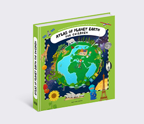
Atlases for Children
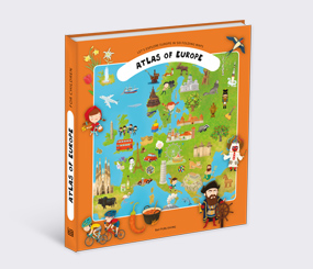
Atlas of Europe
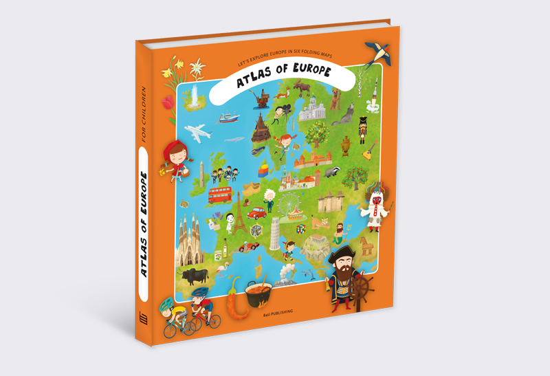
Atlas of Europe
Written by Tomáš Tůma, Oldřich Růžička
Illustrated by Kateřina Wagnerová Hikade, Tomáš Tůma
Ages 6-8
Book parameters:
Size 230 × 260 mm, widespreaded 460 × 520 mm, spreads with gatefolds + booklets, hardcover
Specification:
8 spreads with gatefold + 12 booklets
Sold to:
Hungarian, Portuguese, Slovene, Spanish
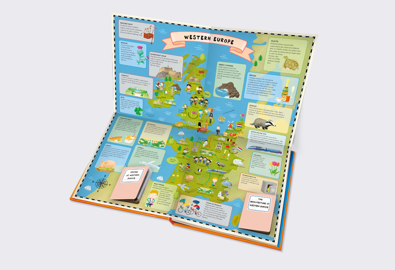
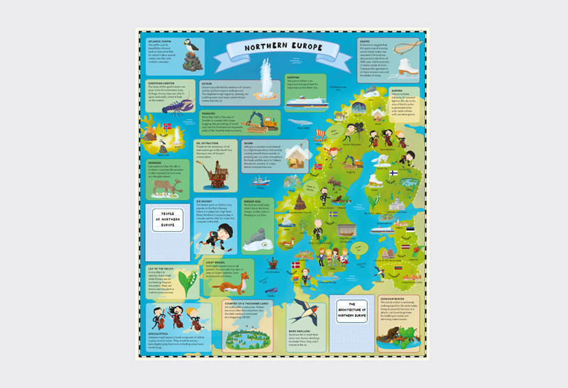
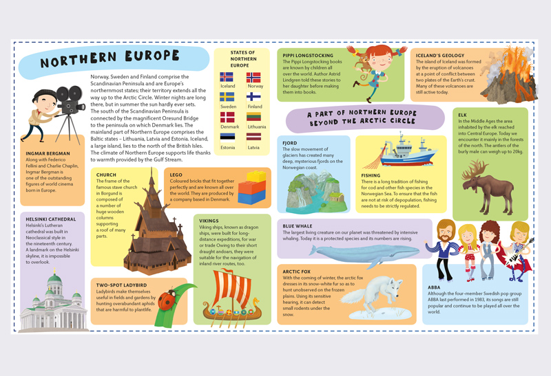
A Children's Atlas of Europe comes in an attractive foldout format. In its six foldout maps and their supplements, very young readers will discover the most interesting places, people, animals and plants from all over Europe.
Although Europe is the world’s second smallest continent, it is an inexhaustible source of interest. Europe has over seven hundred million people, who speak more than two hundred languages and belong to over fifty nations in fifty different states. Now that’s something worth exploring …
Come with us on a journey from west to east and from north to south with six foldout maps filled with remarkable sights. You’ll discover something about every country and spend time in every state. You’ll get to know leading European figures from past and present, learn about Europe’s most interesting buildings and read about fauna and flora from all parts of Europe. There’s no need to pack a suitcase – once you’re sitting comfortably, our grand European journey can begin!
In the atlas you’ll find:
– all Europe on six foldout maps
– Europe’s famous buildings and a selection of interesting people
– plants and animals of the continent of Europe
– twelve supplementary booklets with more information about buildings, people and history
– all in an easy-to-understand form suitable for the youngest readers
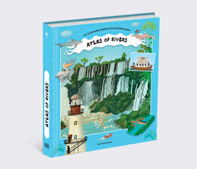
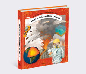
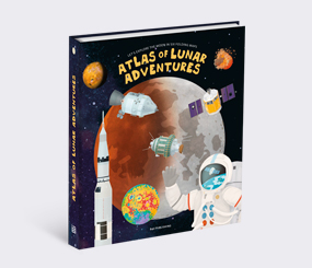
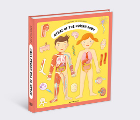
Books from the series
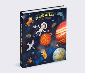
Atlases for Children
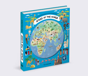
Atlases for Children
Atlases for Children
Atlases for Children
Atlases for Children
Atlases for Children
Atlases for Children
Atlases for Children
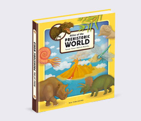
Atlases for Children
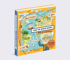
Atlases for Children
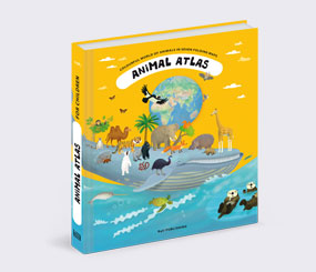
Atlases for Children
Atlases for Children
Atlases for Children