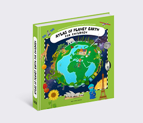
Atlases for Children
Atlas of Ancient Rome
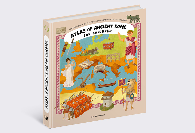
Atlas of Ancient Rome
Written by Oldřich Růžička
Illustrated by Tomáš Tůma
Ages 6-8
Book parameters:
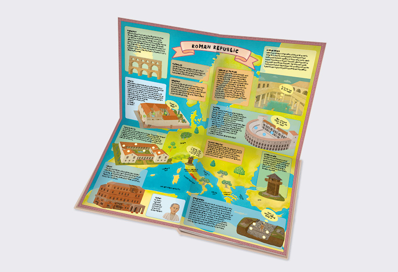
Size 230 × 260 mm, widespreaded 460 × 520 mm, spreads with gatefolds + booklets, hardcover
Sold to:
English, French, Mongolian
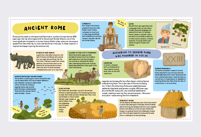
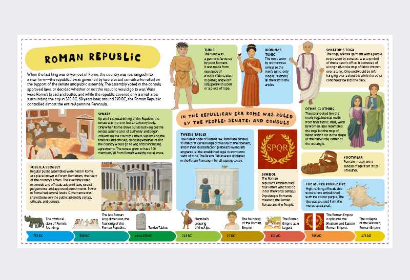
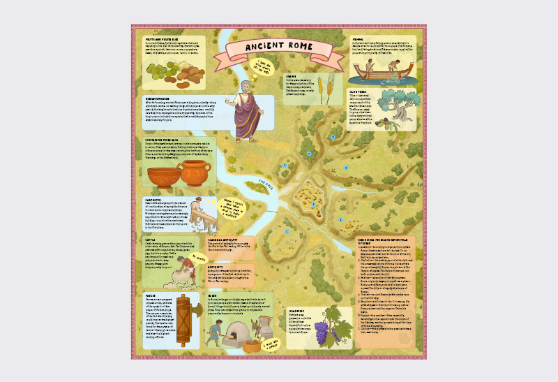
Learn about one of the most important civilisations in history with these six folding maps. All roads lead to Rome, the old saying goes, aptly expressing what an important civilisation was founded almost 3000 years ago.
When the foundations of the ancient city of Rome were laid, no one had any idea that it would eventually develop into one of the most significant empires in human history; an empire which in its heyday covered large parts of Europe, Britain, regions around the Mediterranean, and lands by the Black Sea. The Roman Empire inspired the entire world, especially in regards to arts, architecture, language, politics, trade, and military. Let us playfully learn about Rome, one of the most interesting civilisations of the ancient times.
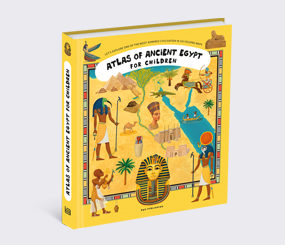
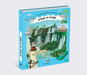
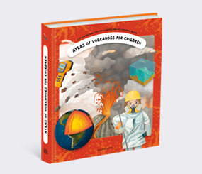
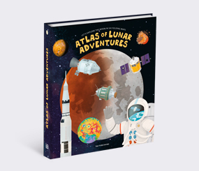
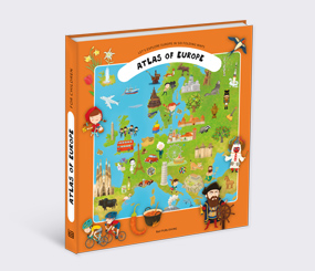
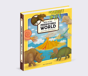
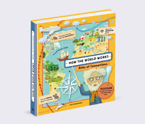
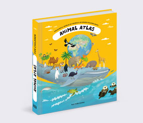
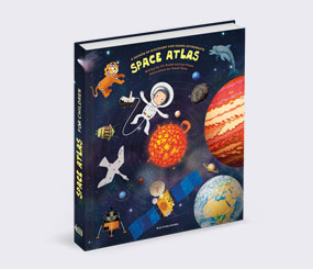
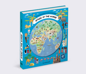
Books from the series
Atlases for Children
Atlases for Children
Atlases for Children
Atlases for Children
Atlases for Children
Atlases for Children

Atlases for Children
Atlases for Children
Atlases for Children
Atlases for Children
Atlases for Children
Atlases for Children
Atlases for Children